Since the beginning of the year, Tianjin's Ninghe district has promoted its low-altitude economy, continuously exploring various application scenarios such as "low-altitude + logistics, agriculture, cultural tourism, and governance".
Traffic Control Technology Co., Ltd. signed a strategic agreement with Ninghe district on "low-altitude + wetland management", aiming to accelerate the construction of a low-altitude intelligent remote sensing network and initially forming a "drone + AI" wetland inspection model.

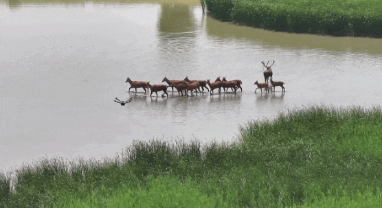
Qilihai Wetland in Tianjin's Ninghe district
At the Qilihai Wetland Monitoring Center, with the click of the mouse, a staff member can issue the cruising task command and a drone takes off from the unmanned aircraft nest, automatically adjusting its flight path, attitude, and gimbal angle according to the preset route. Simultaneously, it transmits back images and videos, making the entire drone inspection process very smooth.
In addition to saving labor costs through the efficient patrol of drones, this "drone + AI" wetland inspection model can also make wetland patrol more efficient, convenient and precise, as it can analyze and identify the data collected by drones with the AI technology.

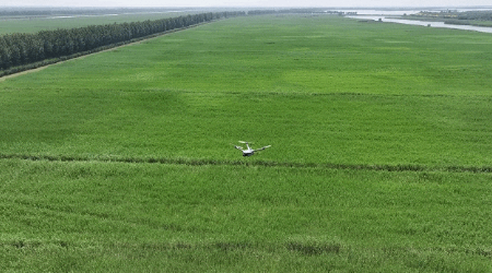
A drone conducts an inspection in Qilihai wetland.
"Once our project is completed, it will be the first all-weather, fully covered, automated and normalized inspection project in our country's wetland nature reserve. We also hope to make it a demonstration project that can be promoted to over 400 wetland reserves nationwide," said Liu Chao, senior systems expert at Traffic Control Technology.


